


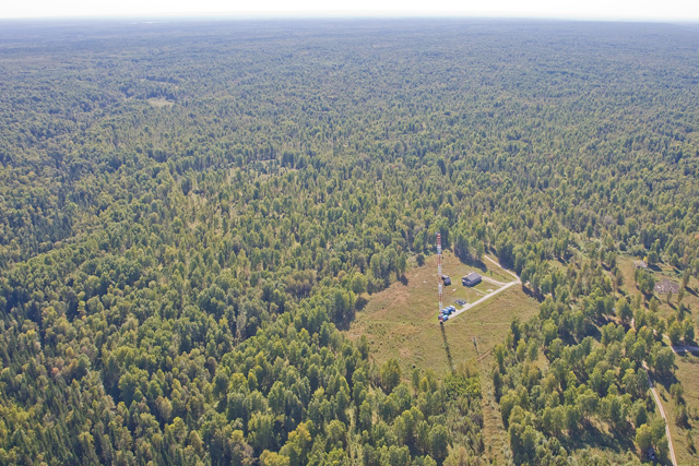
Photo 1Monitoring tower in Berezorechka in the interior of West Siberian taiga
The National Institute for Environmental Studies began monitoring of carbon dioxide (CO2) concentrations in the interior of the Siberian taiga using a tower with the cooperation of Russian research organizations at the beginning of the 21st Century (Photo 1). The Siberian taiga is the world’s largest terrestrial ecosystem, and it is believed that its respiration and photosynthesis have a great impact on the fluctuation of CO2 concentrations. Until the start of these monitoring activities, temporal and spatial monitoring data for Siberia was scarce due to the difficulties imposed by both the harsh natural environment and infrastructure issues. After a process of trial and error, the researchers from NIES were able to develop a stable automatic monitoring system which could operate even under severe conditions, and they have, for the first time in the world, succeeded in obtaining continuous CO2 data from inner Siberia. This newly developed tower monitoring system at its height covered nine locations, and currently measurements of CO2 concentrations are carried out in a variety of environments such as taiga, steppe and wetland (Figure 1, Table 1). “Station” itself implies a place where monitoring is conducted, and since this project is carried out with Japanese-Russian collaboration, it has been named JR-STATION (Japan-Russia Siberian Tall Tower Inland Observation Network). With the cooperation of Russian researchers, the system had been further improved by adding a methane sensor to the monitoring system (Photos 2 and 3). The most extensive wetland area in the world is situated in West Siberia, and it is believed that the amount of methane emitted from there is the largest in the world. The methane emissions from Siberia have a great impact on global methane concentrations.
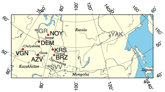
Figure 1Locations of the monitoring towers in the network (JR-STATION) (red circles). Gray circles indicates former observation sites. The alphabet combination indicates the code of the sites (Table 1). Main cities are marked with white circles.
Table 1Locations and sampling heights of the JR-STATIONs
| Code | Place name | Latitude | Longitude | Sampling height (m) |
|---|---|---|---|---|
| BRZ | Berezorechka | 56°08′45″ | 84°19′49″ | 5, 20, 40, 80 |
| KRS | Karasevoe | 58°14′44″ | 82°25′28″ | 35, 67 |
| IGR | Igrim | 63°11′25″ | 64°24′56″ | 24, 47 |
| NOY | Noyabrsk | 63°25′45″ | 75°46′48″ | 21, 43 |
| DEM | Demyanskoe | 59°47′29″ | 70°52′16″ | 45, 63 |
| SVV | Savvushka | 51°19′30″ | 82°07′40″ | 27, 52 |
| AZV | Azovo | 54°42′18″ | 73°01′45″ | 29, 50 |
| VGN | Vaganovo | 54°29′50″ | 62°19′29″ | 42, 85 |
| YAK | Yakutsk | 62°05′19″ | 129°21′21″ | 11, 77 |
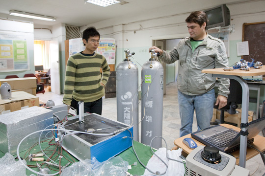
Photo 2Maintenance of equipment in cooperation with a research colleague from the Institute of Atmospheric Optics at the Russian Academy of Sciences
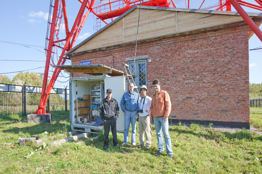
Photo 3In front of the container with monitoring equipment together with Russian colleagues
We measured the vertical distributions of CO2 concentrations using a small airplane for the skies above the tower. A comparative analysis with the data obtained from the tower observation system allowed us to evaluate the representativeness of tower data and estimate the CO2 uptake by the forest (Photos 4–6). We are carrying out research to accurately elucidate the annual variation of CO2 uptake in the entire Siberian region using the data of this extensive tower monitoring network.
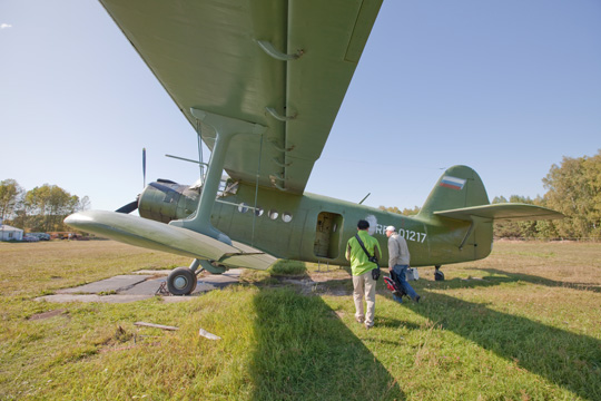
Photo 4Small airplane (Antonov-2) used for the monitoring of CO2 concentrations over Berezorechka
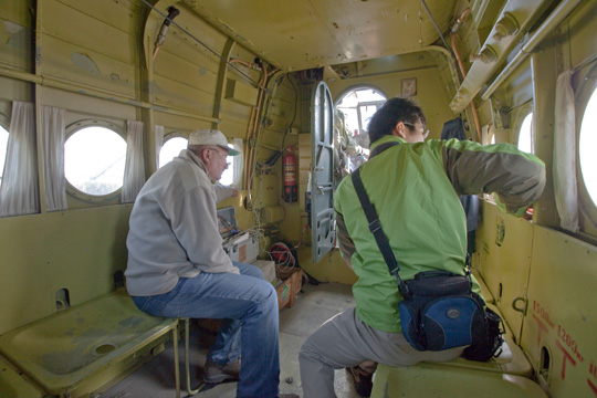
Photo 5Interior of the airplane
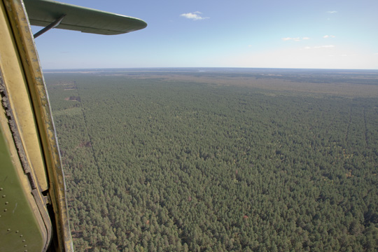
Photo 6The Siberian taiga seen from the airplane